
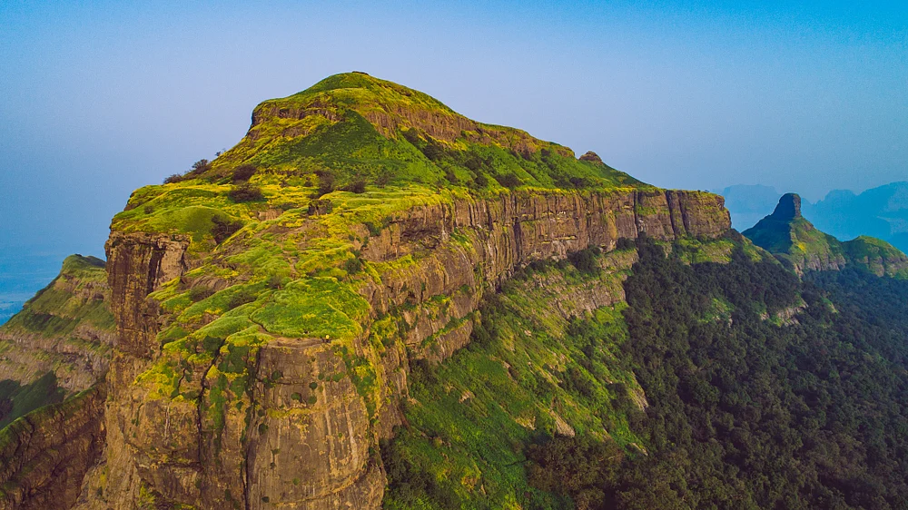
Ratangad, also known as the Jewel of Sahyadri, is situated in Ratanwadi village of Ahilyanagar district. The Bahamani Dynasty built the fort around 400 years ago; it was occupied by the Mughals, and then, in 1647, it was conquered by Chhatrapati Shivaji Maharaj. Ratangad was also one of the Maratha Empire’s watchtower forts to protect activity in the Konkan area, and a defensive fort in the Sahyadri ranges too. Because of natural elevation and a rock-cut hard structure, it was an ideal place for defence, communication, and protection. The fort complex is a collection of different stone bastions, gates, water tanks, and caves that speak of an amalgamation of military architecture and effective administration.
Essentials Breakdown:
Height: 4255ft (1297 m)
Distance: 6km
Difficulty: Moderate Time: 3:00-3:30 hr
Endurance: Moderate to high
Railway Station: Igatpuri or Kasara
Base Village:
RATANWADI (Popular and Easier route) :
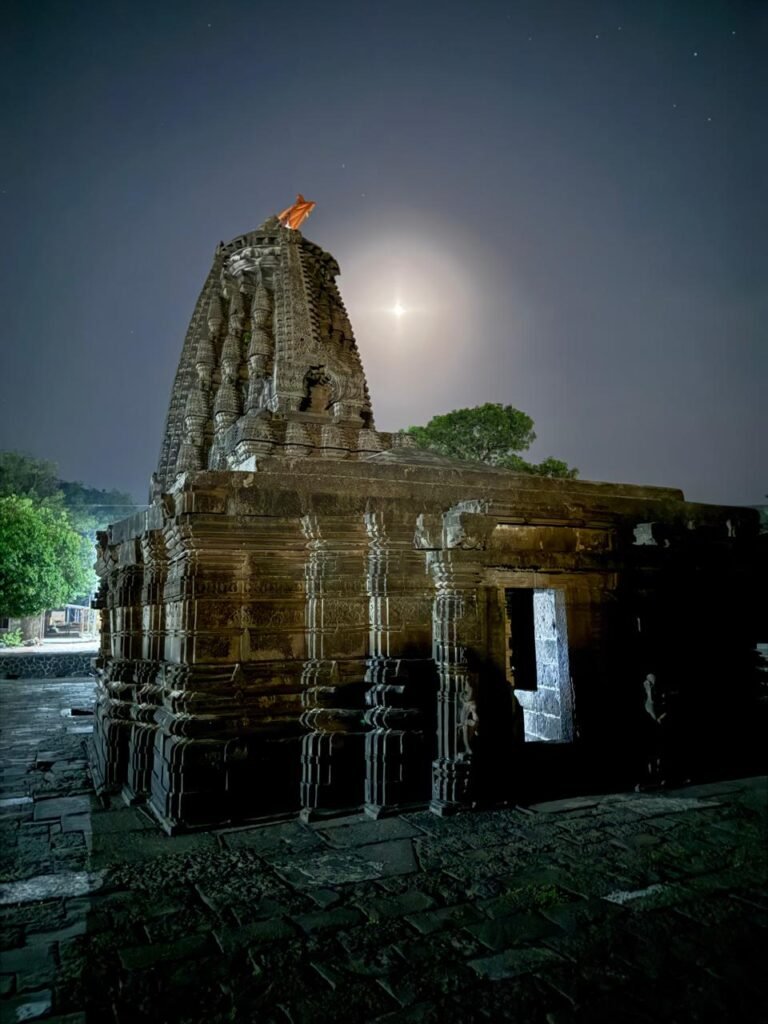
This is the traditional route. You start near the 1,200-year-old Amruteshwar Temple (built by the Bahamani Dynasty) and trek along the Pravara River. The trail passes through dense, scenic forests before emerging to the rocky patches, which feature well-maintained iron ladders to navigate the steeper cliff sections. Best for Beginners and Families.
Location:https://www.google.com/maps/place/Shree+Amruteshwar+Temple
SAMRAD (Scenic and flowery path):
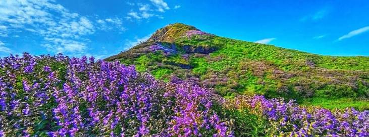
The trail enters via the Trimbak Darwaza (one of the fort’s main gates). It is slightly more demanding but rewards trekkers with breathtaking views of the Ghatghar Dam, Ajoba Parvat, and the surrounding Sahyadri ranges. During the monsoon and post-monsoon (August to October), this trail is famous for the blooming carpets of Sonki and Karvi flowers. This is for experienced and nature-loving trekkers. But these flowers bloom during a particular season. This village is also the base village for the Sandhan Valley trek.
Location: https://www.google.com/maps/place/Ratangad+Fort+Trek
Towards Needle’s Eye
There are three entrances to the fort: The main entrance is TRYAMBAK DARWAZA, the small entrance of CHOR DARWAZA, and the entrance towards Kadelot, the GANESH DARWAZA.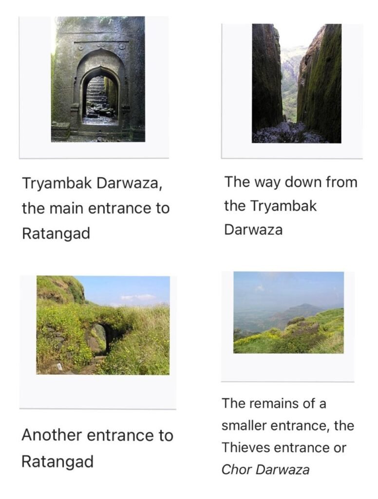
From the top, the view of Alang, Madan, and Kulang is also seen; the Kalsubai peak can be seen along with Bhandardhara. This fort was mainly a watch tower of the Marathas to keep an eye on the surrounding valley and the Konkan trade route. At various places there are water tanks; they have drinkable water in monsoon, but in summer the stagnant water in some of the tanks is full of algae.
Needle’s Eye is near the Tryambak Darwaza, and if you come through the Ramwadi route, you will end up at the Ganesh Darwaza; then you have to take a round route to Tryambak Darwaza from the top of the fort.
At Ganesh Darwaza, there is a watch tower and beside it, a water storage, which gives scenic views of the mountains in front of it, a perfect spot for photographers, especially in monsoon
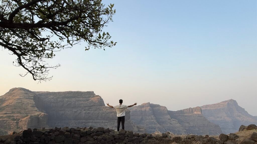
If you are planning the trek in summer or pre-monsoon for cloud gathering, make sure to have the DURG APP on your Android. It will be helpful for the route and the local guide’s phone number is also provided in it. You can also make camp at the top near Ganesh Darwaza, which has a literally heavenly view, must camp at the top instead at the base village.
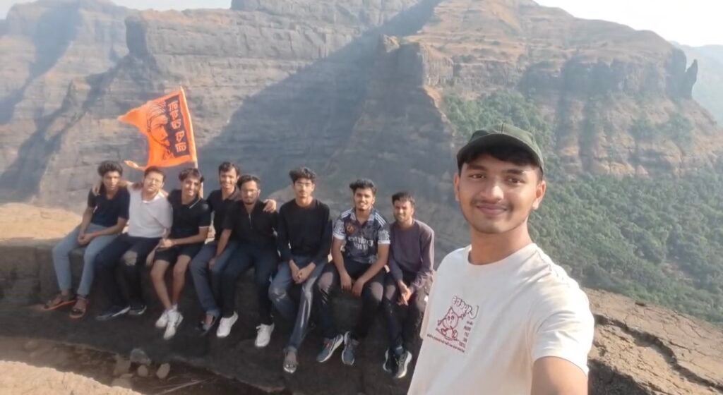
The above is KADELOT POINT: http://google.com/maps/place/Kadelot+Point+Ratangad+कडेलोट+पॉइंट+रतनगड
GANESH DARWAZA: https://www.google.com/maps/place/Ganesh+Darwaja,+Ratangad
TRYAMBAK DARWAZA: https://www.google.com/maps/place/Tryambak+Darwaza